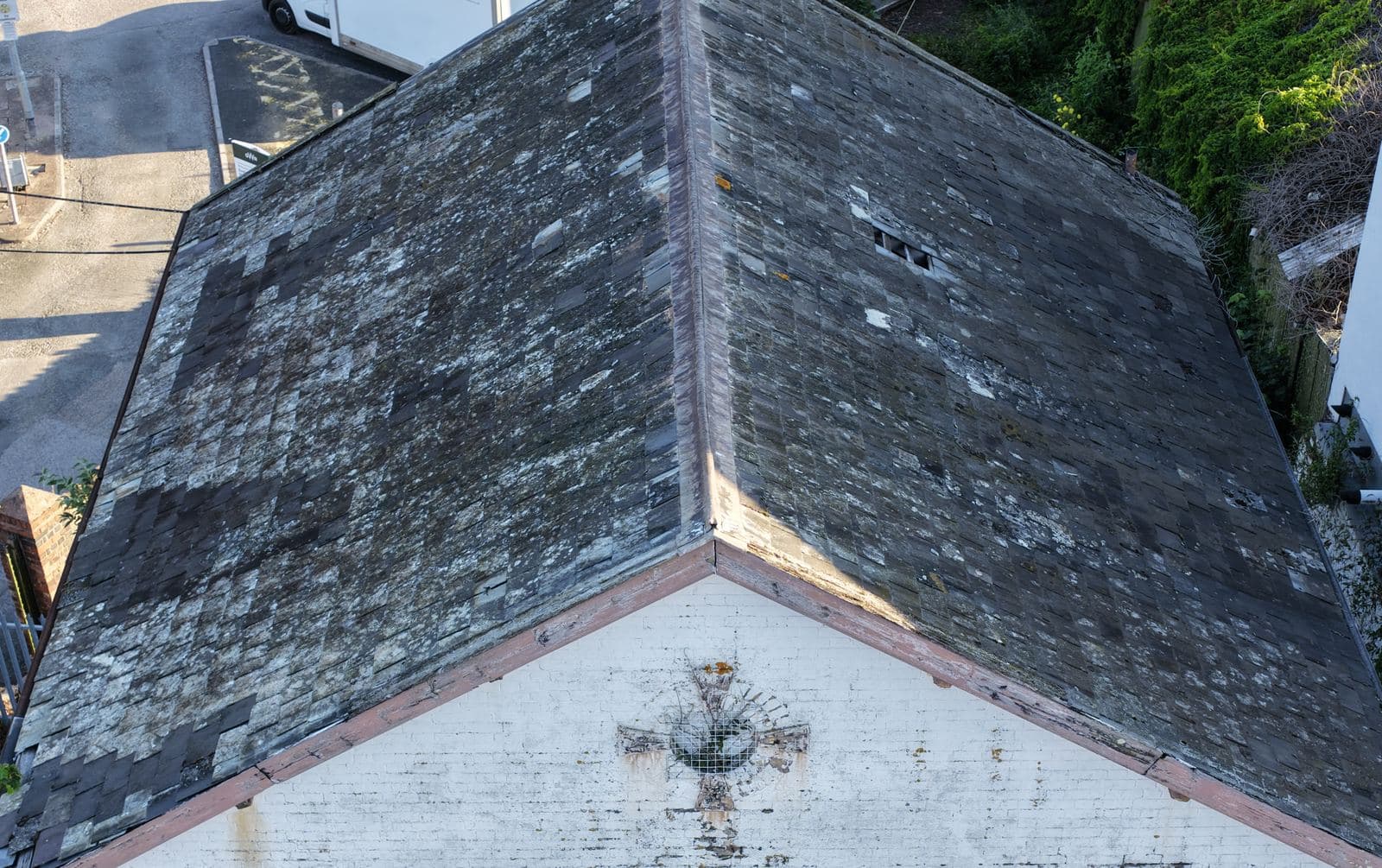
The White House, Exeter St Davids
A roof and wall condition survey of The White House at Red Cow Village, beside Exeter St Davids station. The building sits about 32 metres from the nearest railway track, so the flight went up under a notification registered with Network Rail.
- Flown
- 3 July 2026
- Location
- Exeter St Davids
- Client
- Veda
- Distance to nearest track
- About 32 metres
What we were asked to do
Veda commissioned a drone survey of the roof and wall elevations of The White House, the building at the north end of the car park on the east side of Exeter St Davids station.
Before any of that could be booked, we went through the client's supplier onboarding: a full pre-qualification questionnaire returned with evidence of insurance cover, CAA operator and flyer credentials, and signed health and safety, environmental and anti-slavery policy statements.
Where
The White House, Red Cow Village, on the station side of Exeter St Davids.
What we flew
The complication on this one was the railway. The building stands about 32 metres from the nearest track, which puts it close enough that a flight notification had to go in to Network Rail before anything left the ground.
Network Rail take those notifications through an online portal rather than by email, so the operation was registered there with the flight details, the aircraft, the operator credentials and the insurance position. It came back cleared, in the open category, with no further approval needed. The survey flew at seven in the morning two days later.
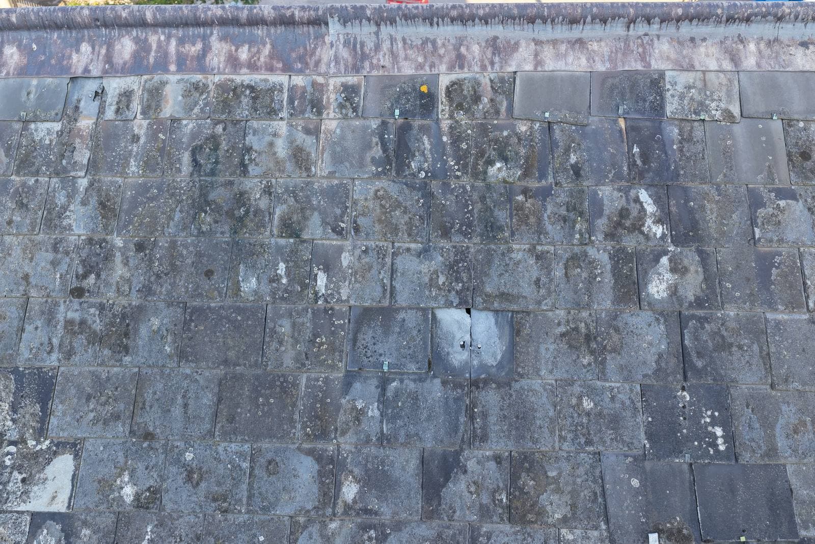
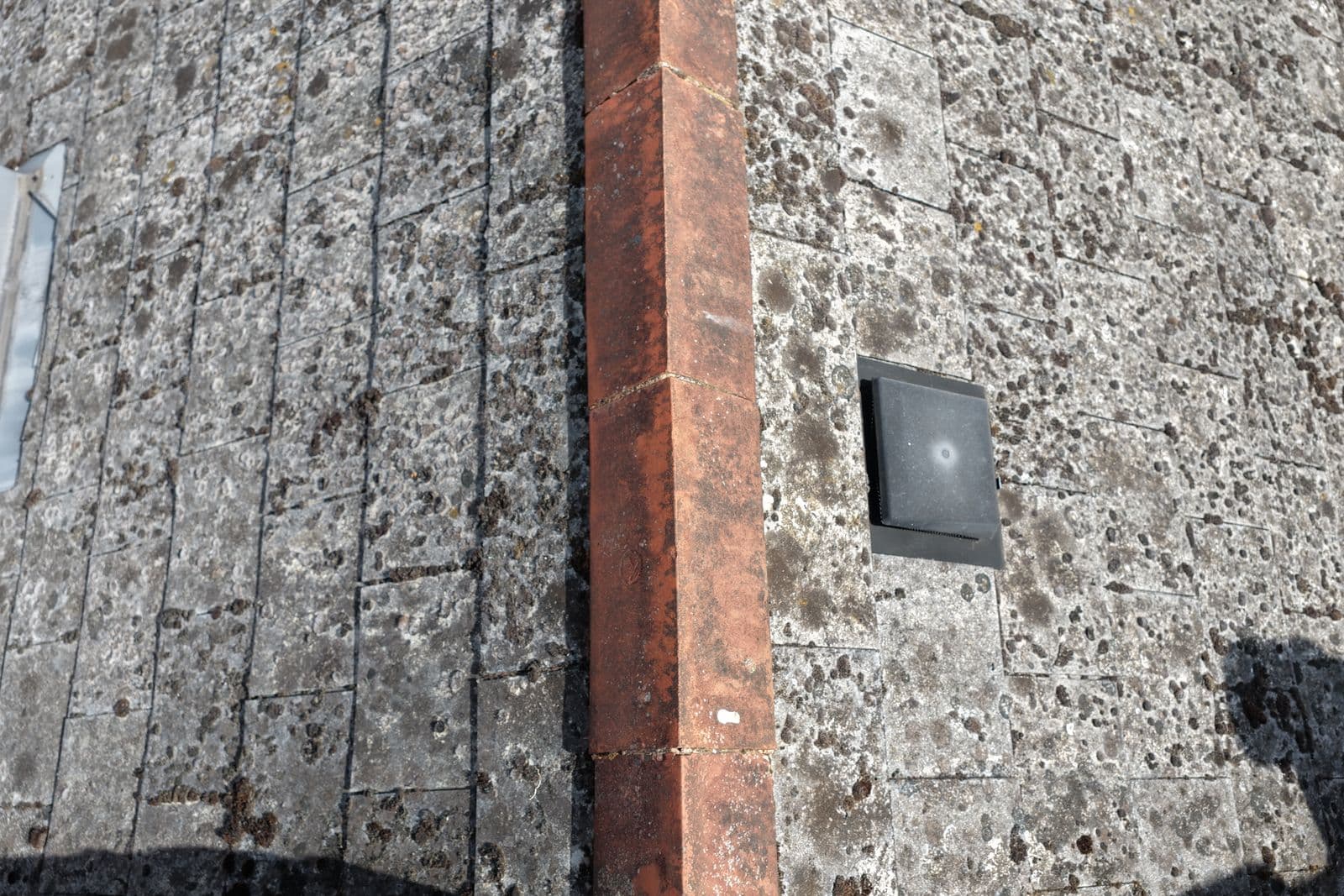
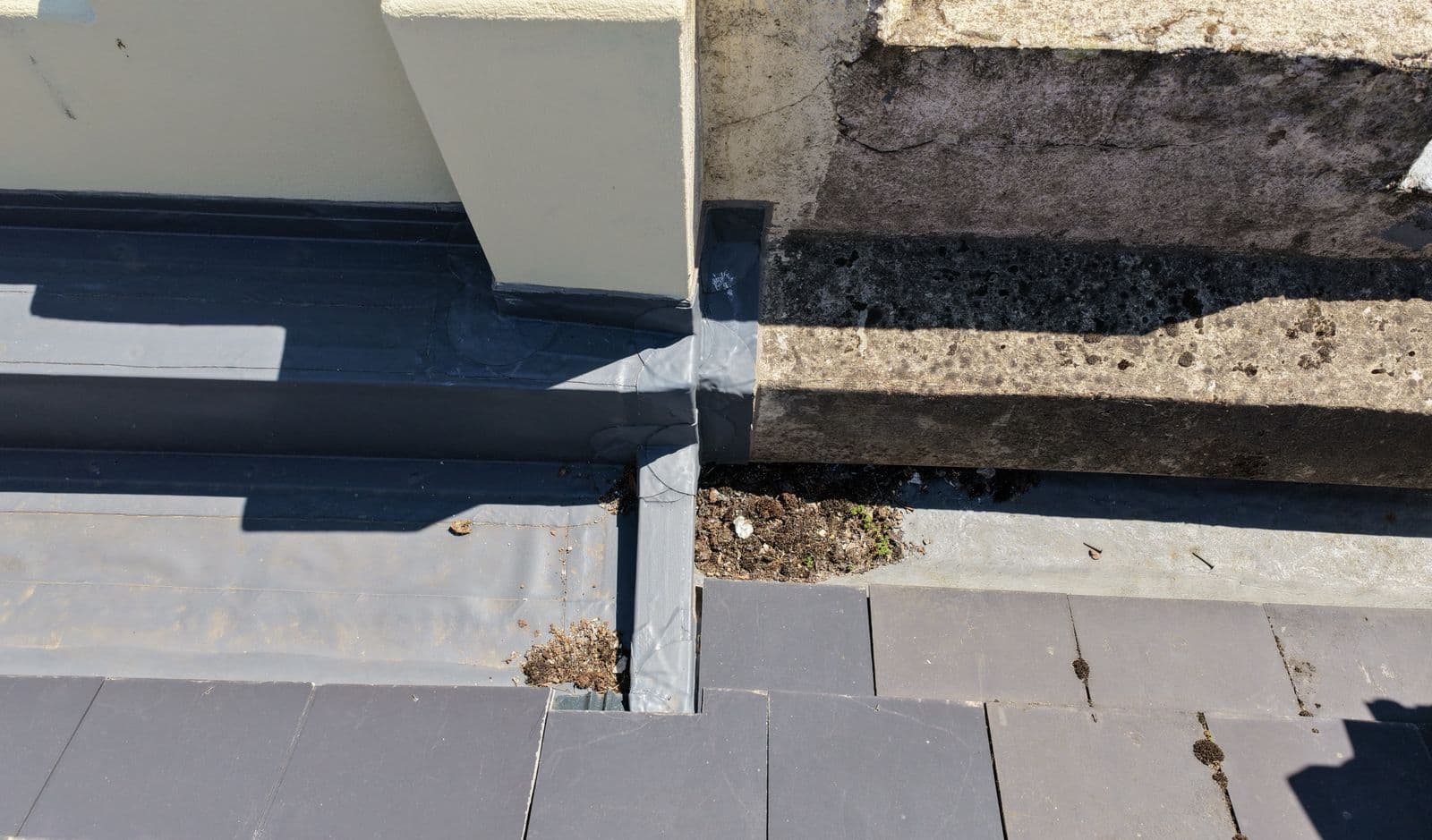
178 stills went in the bag along with video, covering the roof slopes and ridges, the gables and verges, the window openings and the wall elevations on every side.
What it achieved
The imagery was delivered to the client the same evening, as full resolution files.
This mission is on the log for the access rather than the findings. A building tight against a live railway is exactly the kind of site people assume cannot be surveyed from the air. It can, provided the notification goes in and the operator has the paperwork to back it up.
The same goes for the onboarding. If you are a commercial client with a supplier approval process, insurance thresholds and policy documents to satisfy, that is a normal part of the job here and not a reason to go elsewhere.
Imagery
Frames captured on the day, cropped and resized for the web.
Building Drone Surveys
Comprehensive drone surveys for buildings of all types across Devon — residential, commercial, and heritage.
See what is includedMore Missions
Other jobs from the flight log.
Ready to Book Your Drone Survey?
Get a detailed aerial inspection of your roof without scaffolding, ladders, or risk. Contact us today for a free, no-obligation quote.